Beecroft-Cheltenham Bushland
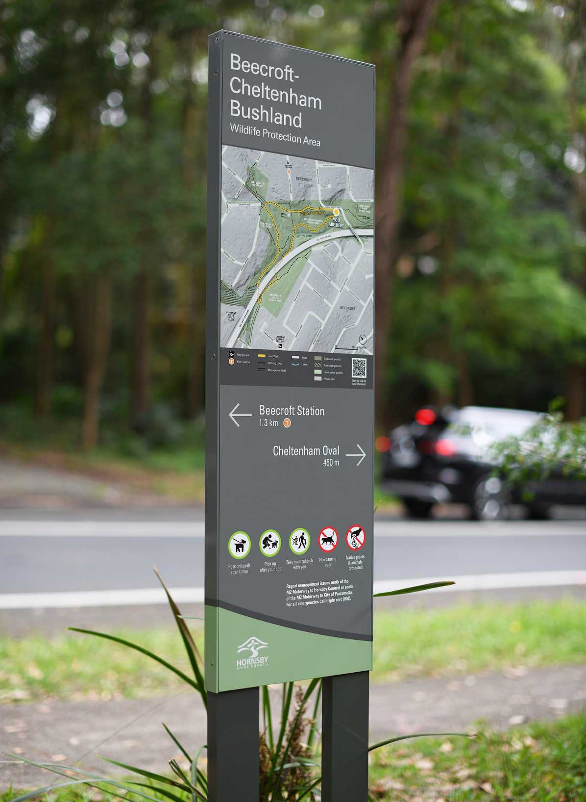
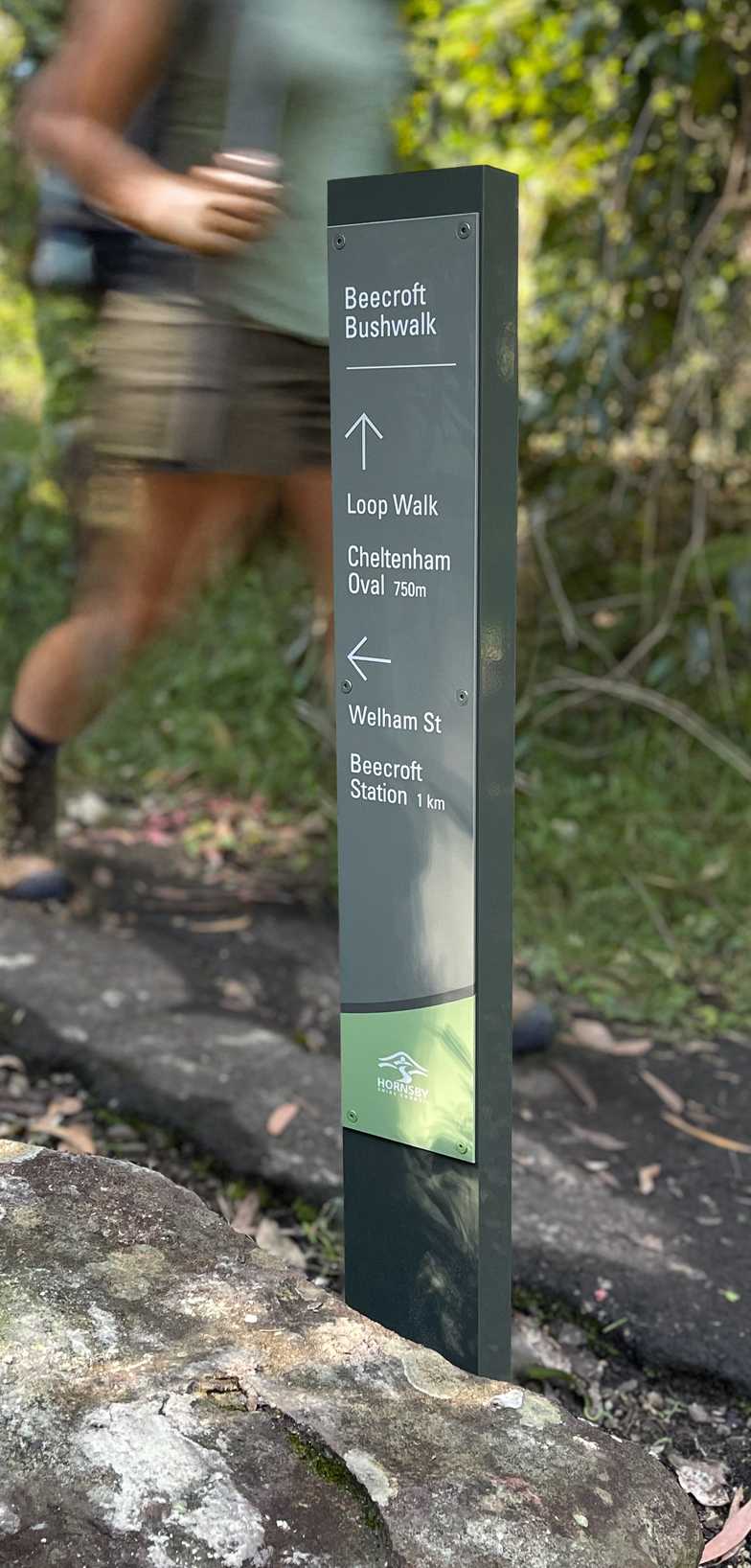
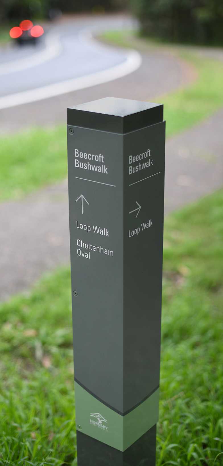
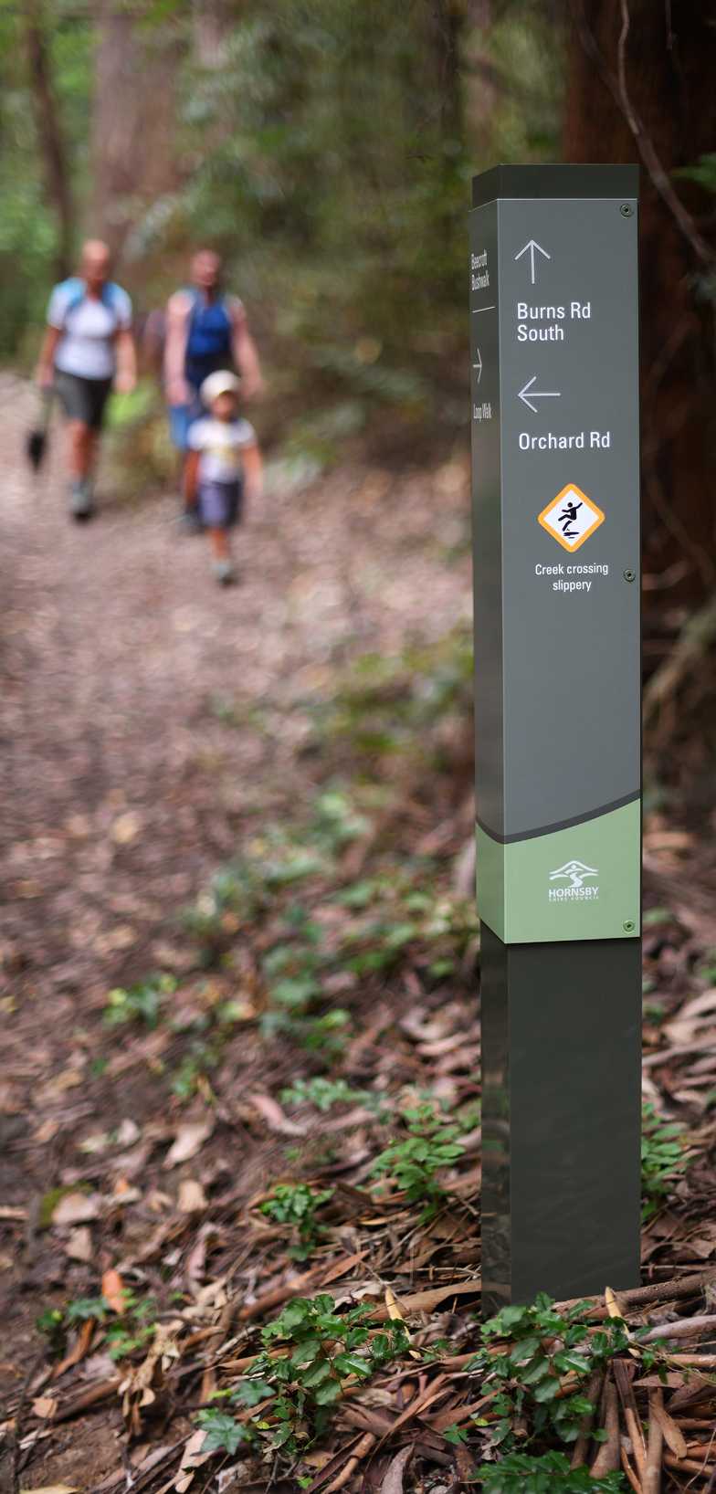
Spanning two local government areas in Sydney’s northwest (City of Parramatta and Hornsby Shire), wayfinding on the Beecroft-Cheltenham walking track comprises 40 signage items, including track heads, minor directional signs, and totems utilising branding elements, representative of both bushland management authorities.
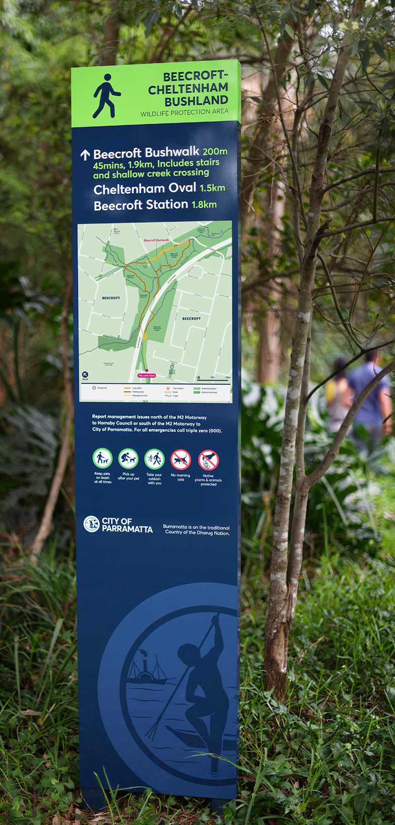
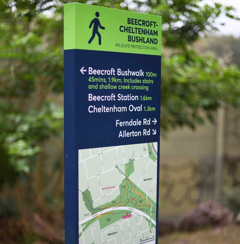
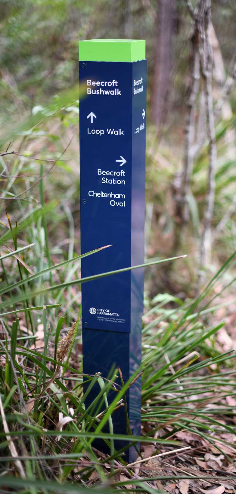
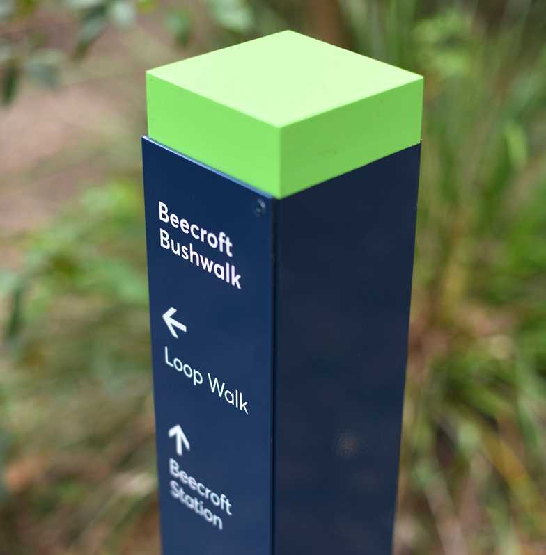
JDA has assisted Hornsby Shire Council in developing a comprehensive and flexible bushland wayfinding signage system, to address both functional and aesthetic aspects of navigation, and to foster inclusivity and environmental appreciation amongst residents and visitors to the area.
Our bushland wayfinding system complements the principles of the Council’s Public Domain Signage, and is being progressively deployed during upgrades to walking tracks and parkland reserves across the Shire.
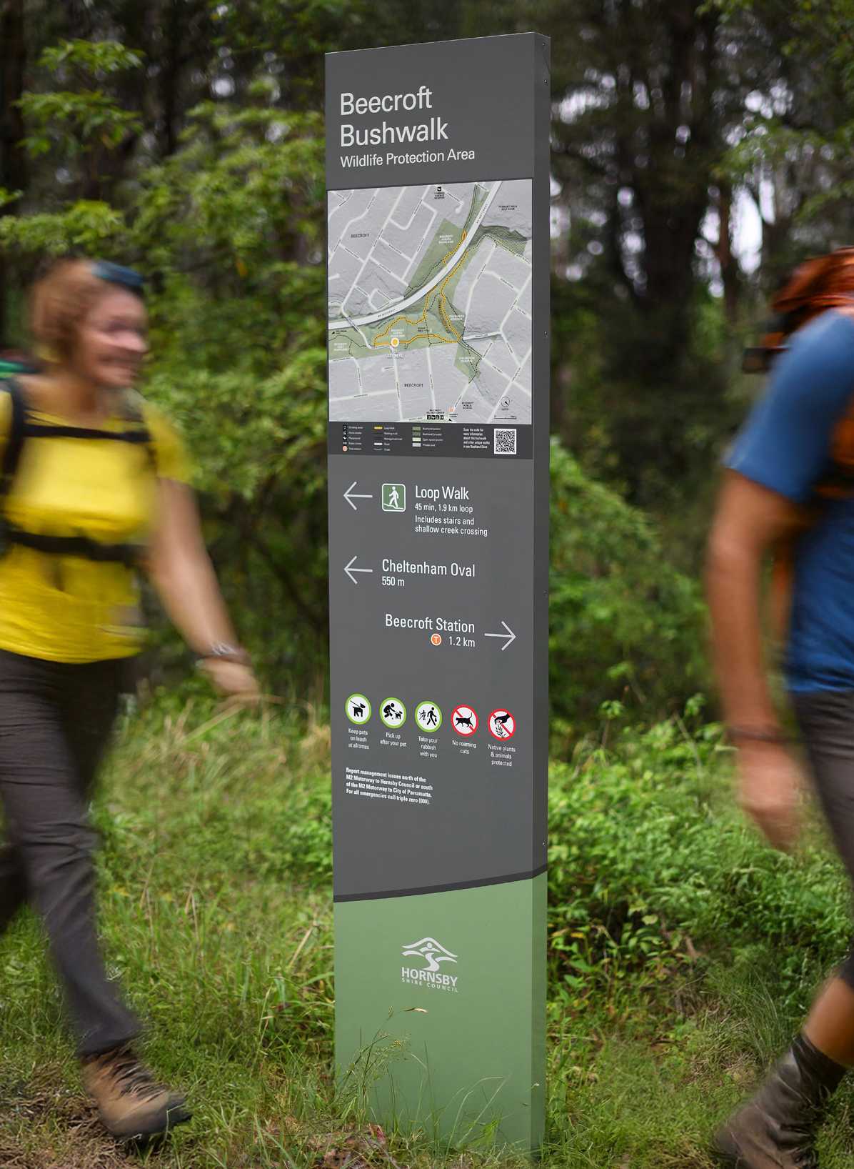
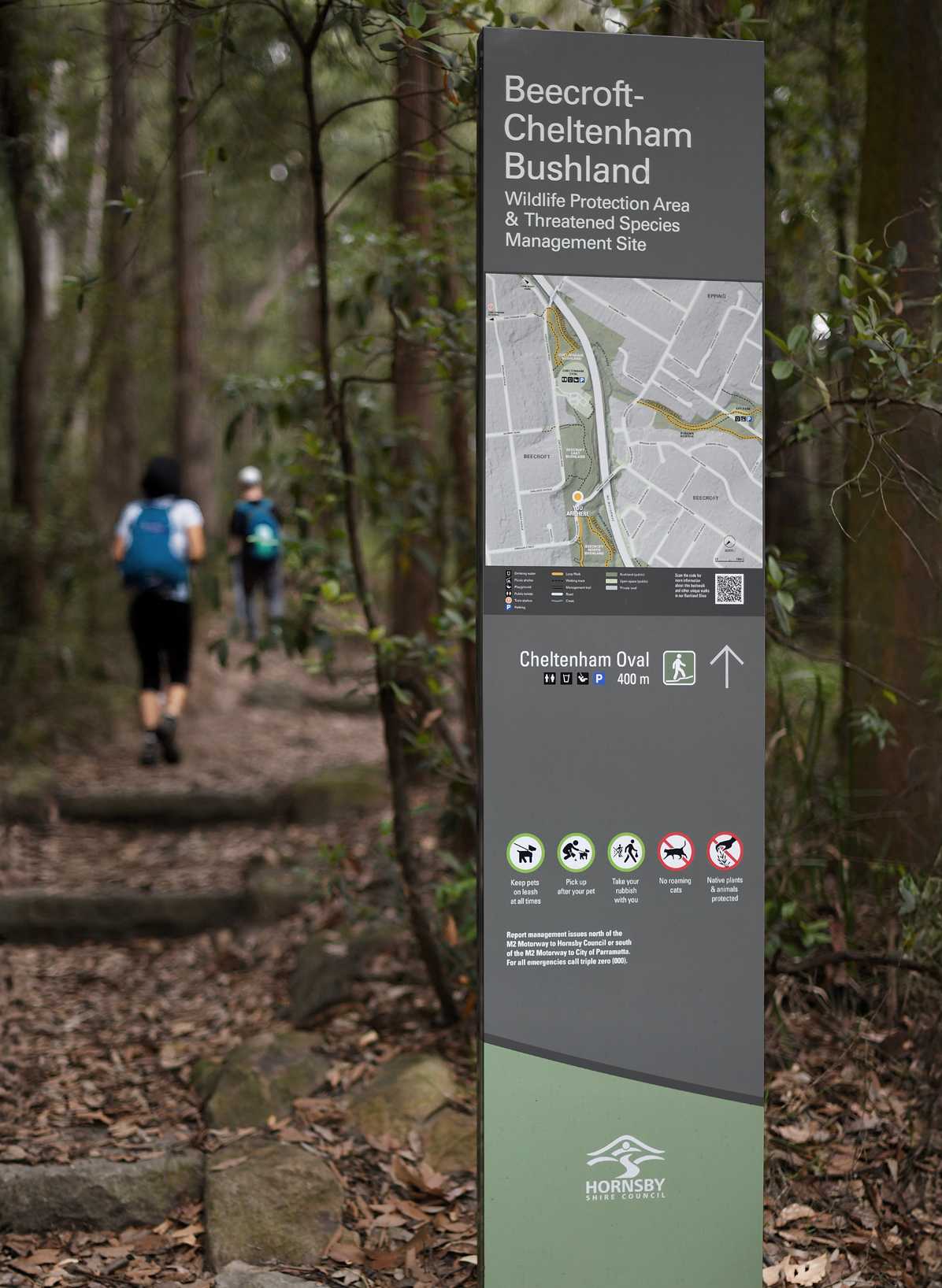
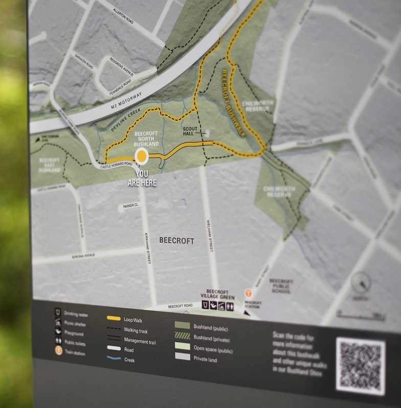
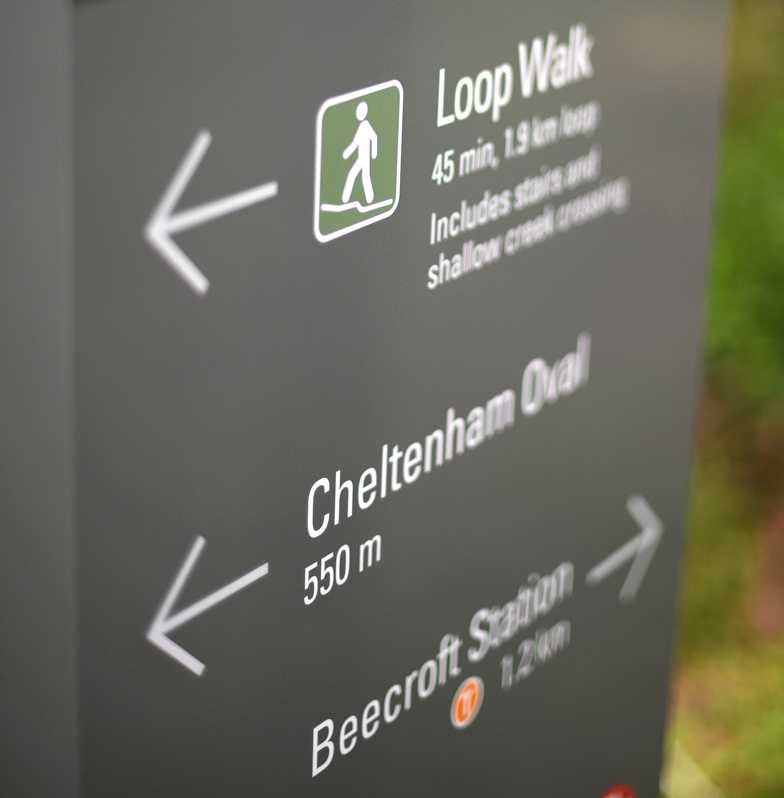

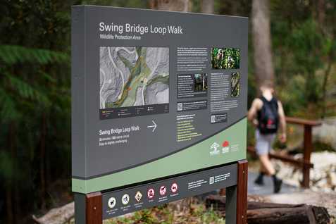
Seventeen topographic orientation maps, accompanied by custom-designed, track-specific instructional icons, have been developed to enhance the bushwalking experience. The maps feature three-dimensional rendering, resulting in a clear and intuitive representation of terrain, including pedestrian overpasses, bridges, and elevated sections of walking tracks.
The maps’ design is intended to enhance spatial understanding, enabling users to visualise elevations, trails, and landmarks with ease. Accessibility improvements ensure they are suitable for diverse audiences, including individuals with limited literacy or language skills.
By simplifying navigation, the maps encourage greater confidence in bushwalking, and engender deeper engagement with the natural environment.
