Brooklyn Mangrove Boardwalk
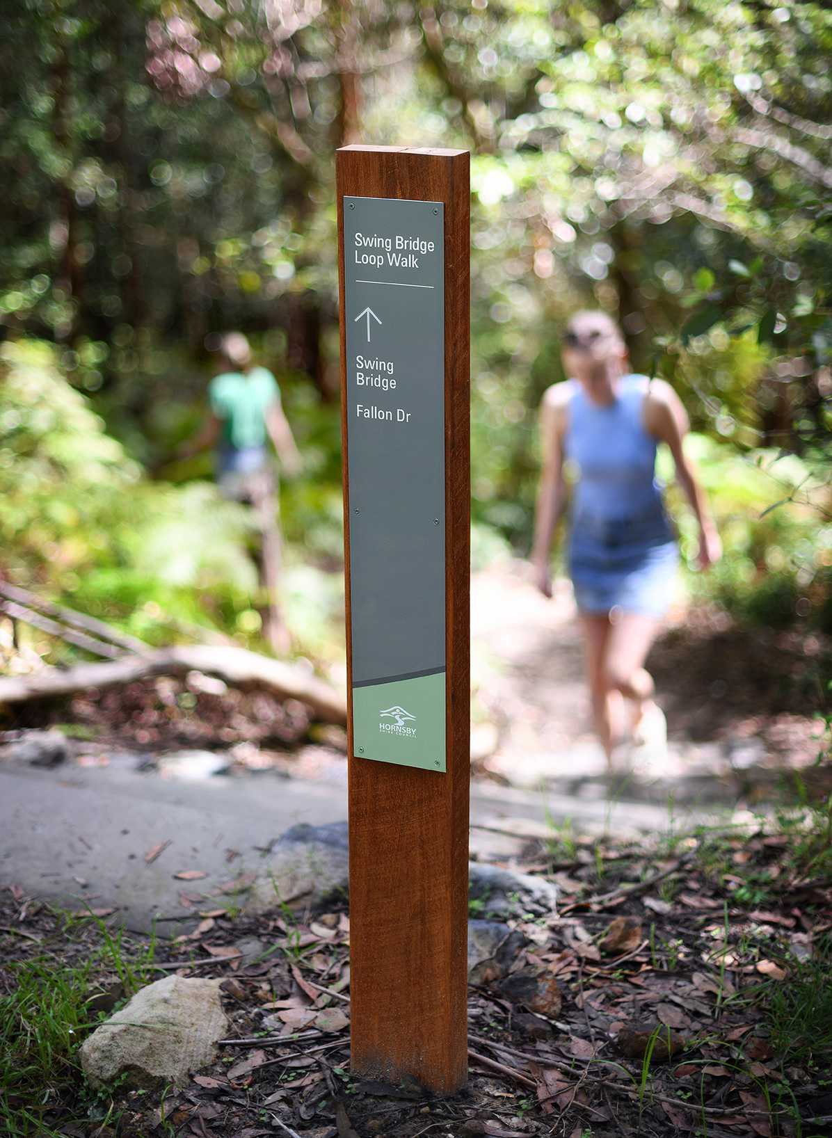
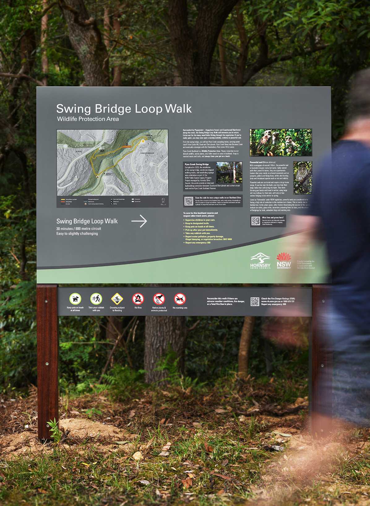
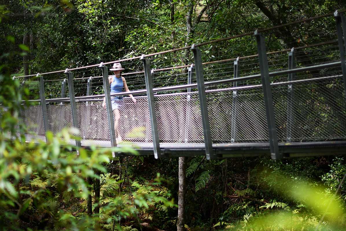
Pyes Creek Swing Bridge Loop Walk exemplifies the considered design and functional excellence inherent in the wayfinding guidelines we developed for Hornsby Shire Council.
Our comprehensive wayfinding signage documentation aims to improve user amenity, enhance navigation, and provide engaging interpretive messaging while harmonising with the natural environment.
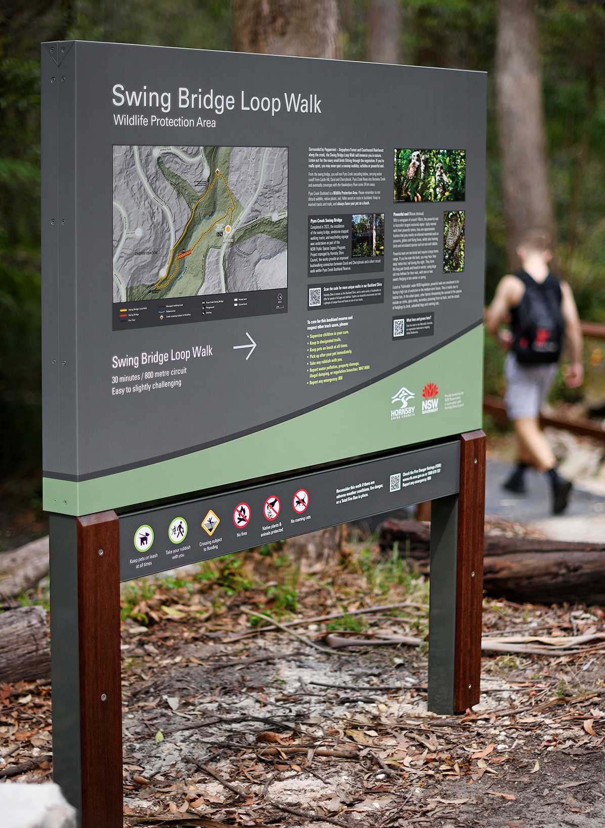
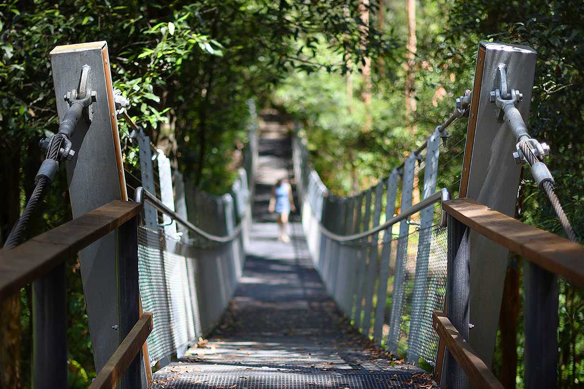
Delivered for Hornsby Shire Council as part of the NSW Public Spaces Legacy Program, the signage also forms part of a comprehensive strategy to standardise a hierarchy of signage types, along with an approach to language, mapping, directional messaging and symbology, to assist walkers in navigating the many tracks that traverse the 6000 hectares of publicly accessible, Council-managed bushland in Hornsby Shire, on Darug and GuriNgai Country.
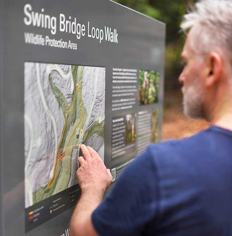
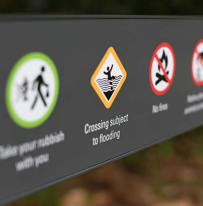
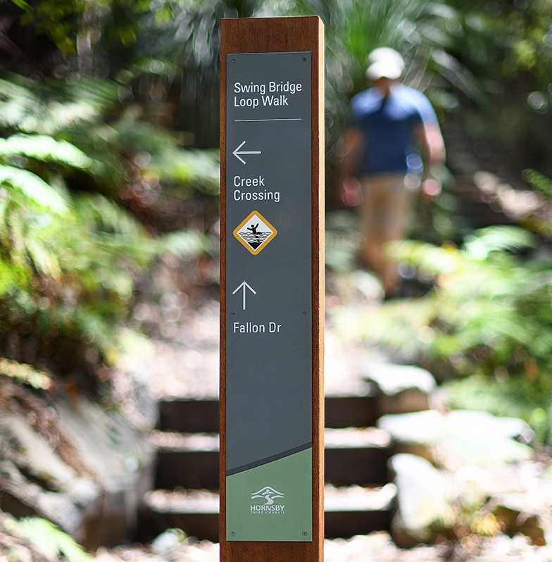
Our bushland wayfinding signage strategy also addresses opportunities to foster custodianship and a deeper appreciation for our shared heritage, by educating track users about site-specific instances of cultural and historic significance, along with the diverse, unique and endangered ecological communities they will encounter.
